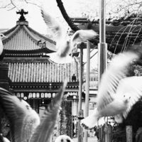
Overview
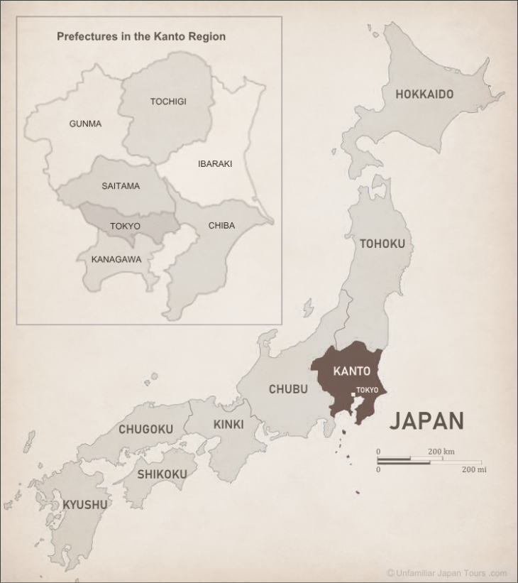
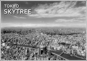
Centered around Tokyo, the Kanto Region of Japan has six other prefectures (Tokyo is a prefecture itself): Saitama, Gunma, Tochigi, Ibaraki, Chiba, and Kanagawa. Perhaps this Region can be called the ‘Tokyo Region’. Here almost everything revolves around Tokyo, which is an international megalopolis. Many important government facilities and large corporation’s headquarters are concentrated in Tokyo. And Tokyo’s big commercial districts are always attracting people.
And the influence of Tokyo is so big and strong that it affects the other prefectures very strongly. In fact, the inevitable expansion of the Tokyo City area has been very vigorous. Now the expansion has crossed the border of the original Tokyo Prefecture. As a result, an unprecedentedly populated area straddling neighboring prefectures has formed. People call it the ‘Greater Tokyo Area’ (or the ‘Tokyo Metropolitan Area’).
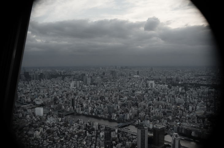
For example, highly-populated Yokohama City is the capital of Kanagawa Prefecture. But, considering it from a different angle, it is a major commercial hub of the Greater Tokyo Area. The land area of the Kanto Region is the smallest of Japan’s seven Regions, occupying only 8% of the entire land of the nation. But almost one-third of the whole population is living in this Region.
Geography and Climate
Geographically, the Kanto Plain, the largest plain in Japan, occupies about two-thirds of the Kanto Region. To the plain’s south and east lies the Pacific Ocean; mountains surround it to the north and west. Some of these mountains are active volcanoes. And because of this, the large portion of the Kanto Region is covered with a volcanic ash soil called “Kanto loam.”
Map of Kanto
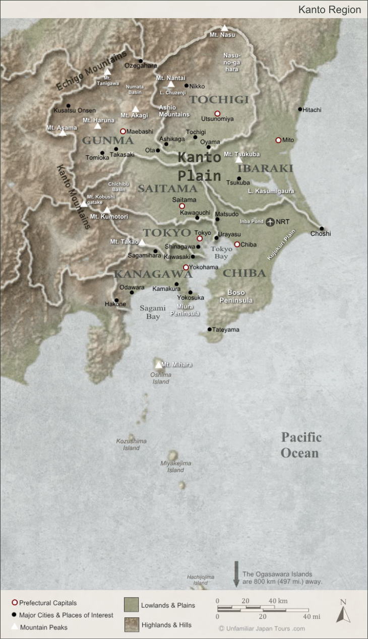
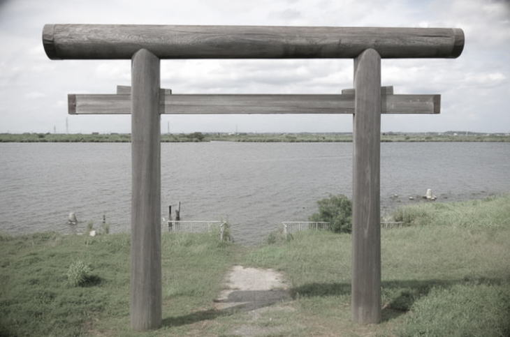
Quite a few rivers flow through the region, and some of them form a border between prefectures. Among them, the Tone River is the most significant. It has the largest basin area in Japan. And because it has flooded many times in the past, it has provided nutrients to its surrounding areas.
The climate in the northern Kanto Region is different than it is in its southern part. The winter in the northern area is sometimes harsh, with occasional snowfalls, while the southern area enjoys relatively warmer winters.
What is lesser-known is that the isolated islands to the south, such as Izu and Ogasawara archipelagoes, are administratively part of Tokyo Prefecture. And in terms of the climate, the latter belongs to the sub-tropical zone. (The Ogasawara Islands are also referred to as the Bonin Islands in Western countries.)
The Capital of Japan
Generally, most people think that Tokyo has been the capital of Japan since 1868 when Emperor Meiji left the court in Kyoto and took up residence in the former site of Edo Castle, turning it into the present-day Imperial Palace (Kokyo). It is true that Edo (the former name of Tokyo) had been the political center and de-facto capital of Japan from the time Tokugawa Ieyasu opened the feudal government there in 1603. However, some people don’t consider it to have been the “official capital” of Japan at that time because the Emperor resided in Kyoto until 1868.
City Center of Tokyo
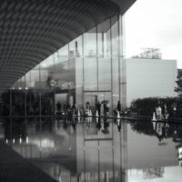
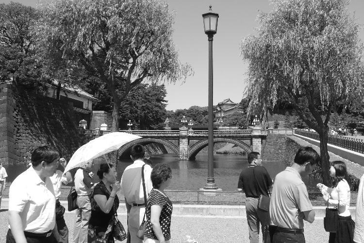
Today the area generally regarded as the “city center” of Tokyo (or ‘downtown Tokyo’) consists of the three wards (ku): Chiyoda, Chuo, and Minato. Besides the Imperial Palace and the Tokyo Station building, there are many important government buildings in Chiyoda Ward. They include the Diet Building, the Prime Minister’s residence, the buildings of various government ministries, and the Supreme Court. Ote-machi and Maruno-uchi area, the economic centers of Japan, with many headquarters of banks and big corporations, are also in this ward.
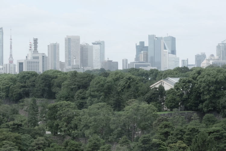
Chuo Ward has the major shopping areas of Ginza and Nihonbashi, which are the home of many high-end department stores. The Tokyo Stock Exchange (Tosho) is also located here. And Minato Ward has a lot of foreign embassies and IT companies’ headquarters. Roppongi, whose redevelopment project in the early 2000s produced one of the landmarks of Tokyo, Roppongi Hills, is also part of this ward.
Sub-centers of Tokyo
Tokyo has a couple of ‘sub-centers’ which are even bigger than its city center. Notable sub-centers include Shinjuku, Shibuya, and Ikebukuro. These three have all formed around the stations along the JR Yamanote Line, an inner city route that circles the city. Shinjuku, especially, is one of Japan’s most vibrant areas with a lot of department stores and restaurants. It is also one of the most important business and administrative centers in the country. For these reasons, Shinjuku is sometimes called the ‘new city center’ of Tokyo.
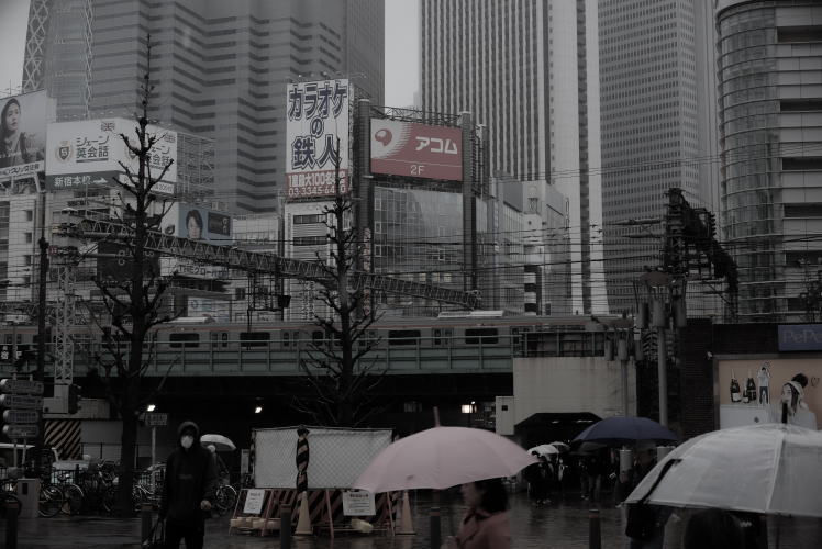
On the west side of Shinjuku Station, several super high-rise buildings are standing. And among those buildings is the Tokyo Metropolitan Government Building. It was relocated from Maruno-uchi in Chiyoda ward in 1991. Now it is a popular landmark, with its futuristic, gaudy look and the fantastic observation decks on the 45th floors of each building.
Expansion and Redevelopment of Tokyo
After the Second World War, Japan struggled to rebuild from the rubble. During the so-called ‘Japanese Economic Miracle’ period, which roughly spanned from 1954 to 1973, an enormous number of people migrated to Tokyo. They moved from the length and breadth of the country in search of the jobs and new opportunities. But the drastic increase of the city population began to cause various problems, including high land prices and traffic jams. So, people sought to relocate some businesses and administrative functions to the outskirts of Tokyo.
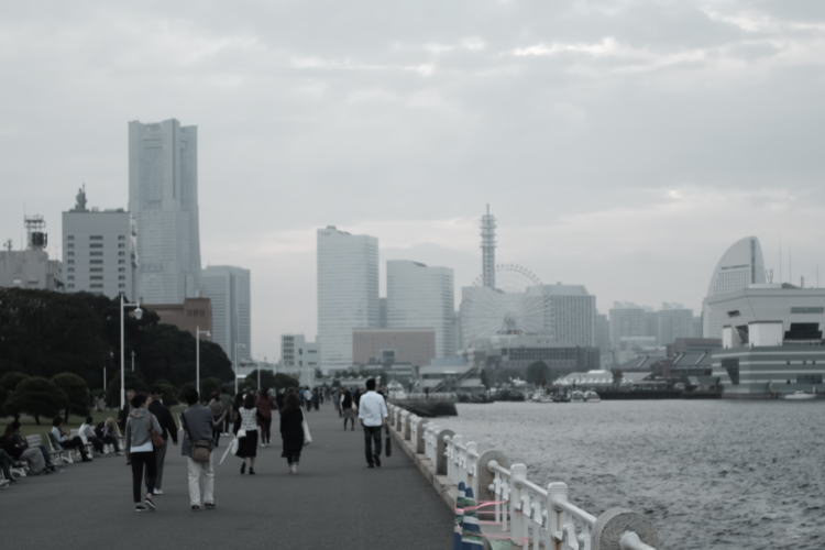
As a result, several highly-developed areas began to emerge in the neighboring prefectures. People sometimes call them the ‘new sub-centers’. Among them are Makuhari New City Center in Chiba Prefecture, Saitama New Urban Center in Saitama Prefecture, Tukuba Science City in Ibaraki Prefecture, and Minato Mirai 21 in Kanagawa Prefecture.
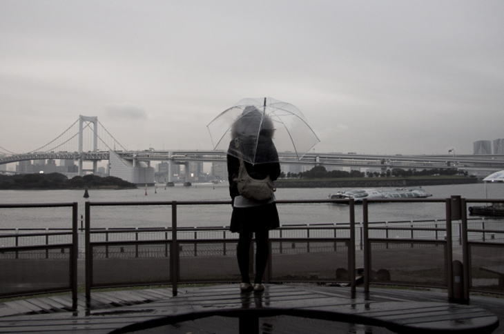
Meanwhile, the Tokyo Metropolitan Government embarked on several redevelopment projects inside Tokyo Prefecture. They reclaimed the coastal areas or bought up pieces of land on which sat buildings of little values, like old factory sites. And they began to construct super high-rise buildings for offices and residences, or amusement facilities. The notable examples include, besides the aforementioned Roppongi Hills, the Odaiba area and River City 21. Through all of this expansion and redevelopment, the Greater Tokyo Area we see today gradually formed.
Photographs: properties of Unfamiliar Japan Tours.com,
unless otherwise noted.
Internal Links
Outbound Links (New Window)

")


")