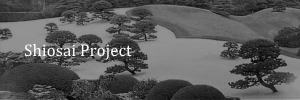
Overview
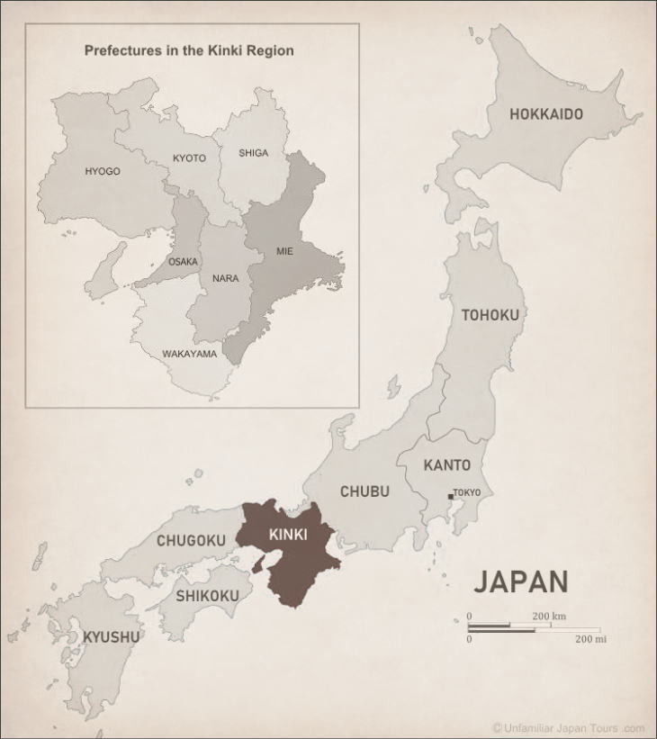
According to the common categorization, the Kinki Region of Japan includes seven prefectures. They are Kyoto, Nara, Shiga, Wakayama, Mie, Osaka and Hyogo (whose capital city is Kobe). People often call this area “Kansai”, but this word does not necessarily correspond exactly to the geographical Kinki Region. When we say Kansai, it sometimes indicates a slightly wider area.
The total land area of the Kinki Region is not so big. It occupies only 9% of Japan’s entire land. But when we study Japanese history and think about how this country has formed and developed as a nation, we can’t by any means overlook this Region. Since ancient times, this area had been the political and economic center of Japan, with the country’s ancient capitals once having been in Nara and Kyoto. And for that reason, this Region has a numerous number of historically important structures and artifacts. Many of them are National Treasures or Important Cultural Properties, and some of them are UNESCO World Heritage sites.
Development of Kinki
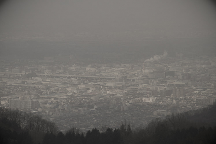
In terms of the population, the Kinki Region comes second among the seven Regions in Japan, behind only the Kanto Region, where Tokyo is located. Nearly 20% of the country’s entire population are living here. The biggest three cities in this Region are Osaka, Kyoto, and Kobe. These cities are located relatively close to each other, and they all have a population exceeding a million. In fact, Osaka has the third largest population in Japan, next to Tokyo’s 23 wards and Yokohama City in Kanagawa Prefecture.
In the early 20th century, with the development of railway system surrounding the city, Osaka grew greatly. People built a lot of factories and homes on the outskirts of the city. And eventually, the edges of the Osaka City area expanded to the ones of Kyoto and Kobe, gradually forming one big metropolis. People call it the ‘Keihanshin (Kyoto-Osaka-Kobe) Metropolitan Area,’ the second largest metropolis in Japan next to the ‘Greater Tokyo Area’.
Map of Kinki
Geographically, the Kinki Region is divided into three parts: northern, central, and southern. Each part has its own distinctive topography and climate.
Northern Kinki
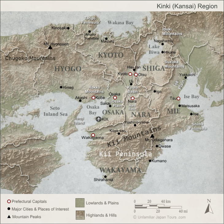
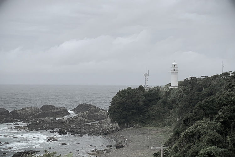
The northern part consists largely of gently sloping mountains, with a small number of plains. With the Sea of Japan to the north, this part gets a lot of snow in winter. And because of that, there are quite a few ski resorts here. With its “ria coast” (a sawtooth shaped coastline), the northern coast of Kyoto Prefecture is beautiful.
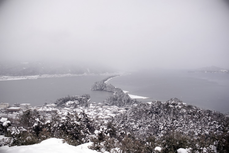
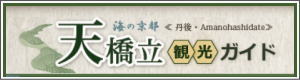
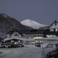
And Ama-no-Hashidate, often cited as one of the three most scenic spots of Japan, is also located along this coast. And in the northern part of Hyogo Prefecture sits the Kinosaki hot spring resort. Its popularity among international travelers is gradually increasing these days.
Southern Kinki
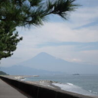
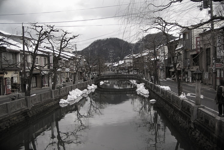
The southern part of the Kinki Region consists largely of the Kii Mountains, which sit on the Kii Peninsula. But unlike the ones in the northern part, these mountains are high, steep, and daunting. Several peaks exceed 1,500 meters, with 1,915m Mt. Hakkyo being the highest of all. Extending into the Pacific Ocean, this area gets a lot of rain. Especially in summer, the humid seasonal wind blowing from the southeast hits the mountains. And when the wind is combined with the influence of the warm Kuroshio Current (Japan Current), it brings much precipitation to the area.
Additionally, in summer and autumn, typhoons often pass off the coast of the Honshu’s southernmost tip, Cape Shionomisaki. Under these climatic conditions, some areas in southern Kinki boast of having high precipitation that far exceeds the country’s annual average (about 1,700 mm). For example, the average annual rainfall of Owase City in Mie Prefecture exceeds 3,800 mm.
Forestry in Southern Kinki
With a small portion of flat lands, southern Kinki is not very suitable for agriculture. Instead, forestry flourishes here. In particular, the quality of cedars and cypresses from Yoshino area in southern Nara Prefecture has been highly regarded since about 500 years ago. Toyotomi Hideyoshi, one of the most dominant warlords in the late 16th century, used them for the construction of his Osaka Castle. But recently, forestry in this area faces various problems. The decreasing and aging population of the lumberjacks is one of them. Also, there is the severe price competition with imported lumber from foreign countries.
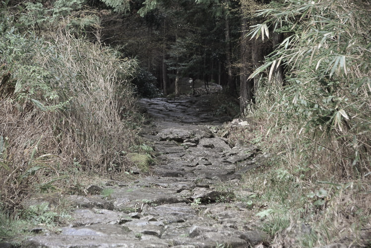
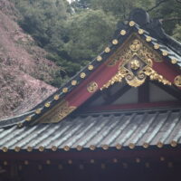
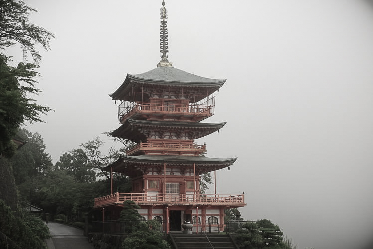
Sacred Sites in the Kii Mountains
Since long ago, the Kii Mountain Range has been a sacred area where deities reside. The harsh and austere environment of the misty mountains surely aroused a sense of awe in the minds of the ancient people. Today we can see many religious structures and monuments of historical importance dotting the vast mountain range. And together with the surrounding nature and the old paths linking some of these sites, they became UNESCO’s World Heritage sites in 2004 under the name ‘Sacred Sites and Pilgrimage Routes in the Kii Mountain Range.’
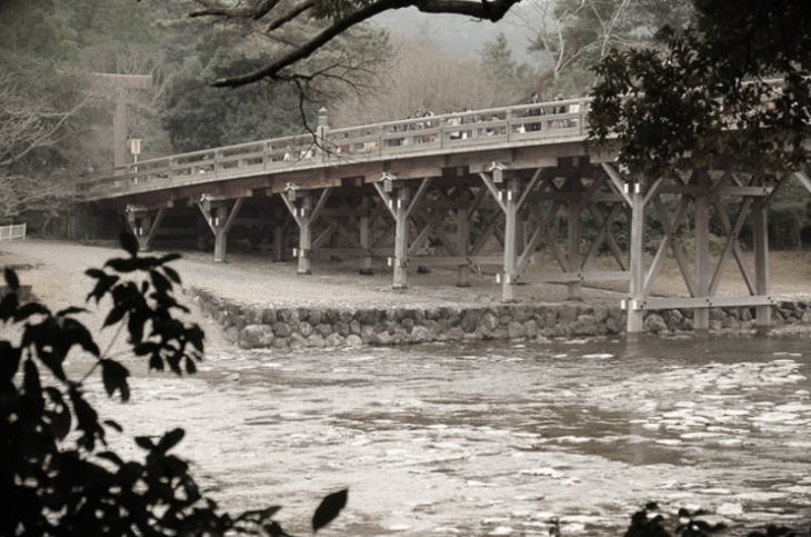
Ise Jingu in Mie
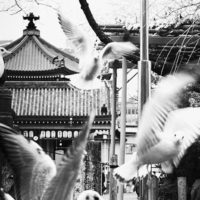
Speaking of the landmarks in southern Kinki, we can’t forget Ise Jingu (Ise Grand Shrine) in Mie Prefecture. The Shinto shrine is deeply connected with the roots of the imperial family. And successive emperors throughout the history have highly revered the establishment. Today, besides receiving an annual visit from the prime minister of Japan and the minister of Agriculture, Forestry and Fisheries, the shrine attracts an enormous number of worshipers and tourists every year.
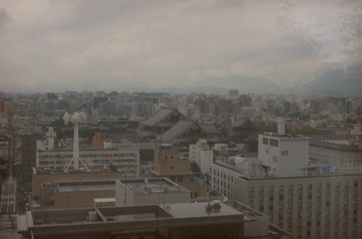
Central Kinki
The central part of the Kinki Region consists largely of lowlands. Among them, the Osaka Plain is the biggest. This plain is the area where a large portion of the Kinki population is concentrated. And it forms the central part of the Keihanshin Metropolitan Area as well as the ‘Hanshin Industrial District’.
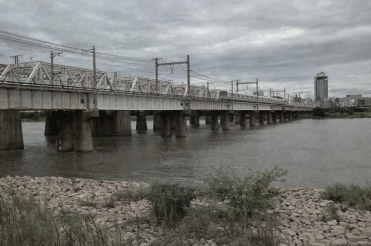
The Yodo River traverses the plain, connecting Osaka Bay and Lake Biwa. Since long ago, commerce has flourished here mainly by utilizing this water transportation route. They say that in the Edo Period, one was able to go from Osaka to Kyoto in a half day by boat on the river.
Kofun in Central Kinki
Central Kinki is also a very significant area when we think about Japan’s origins as a nation. There are many kofun (ancient burial mounds) in the area ranging from today’s Osaka Prefecture to Nara Prefecture. Kofun (古墳) are the tombs of very important people like local governors. And researchers think that very large ones are actually the tombs of ancient Japanese emperors. In the period ranging roughly from the 3rd to the 6th century, a lot of kofun emerged throughout Japan. But the ones in central Kinki are distinctive in their number and size. So, historians believe that a very powerful dynasty (the Yamato Dynasty), who might have ruled over a large area of land, existed here.
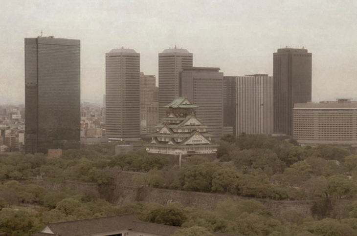
Today, the biggest kofun in Japan is in Sakai City, Osaka Prefecture. The Daisenryo Kofun spans 486m in length and 2.8 km in circumference. And researchers consider it to be the tomb of Emperor Nintoku. In July 2019, the kofun was listed on the UNESCO World Heritage site, along with the other distinctive kofun in central Kinki, as the ‘Mozu-Furuichi Kofun Group: Mounded Tombs of Ancient Japan’.
Introduction of Buddhism
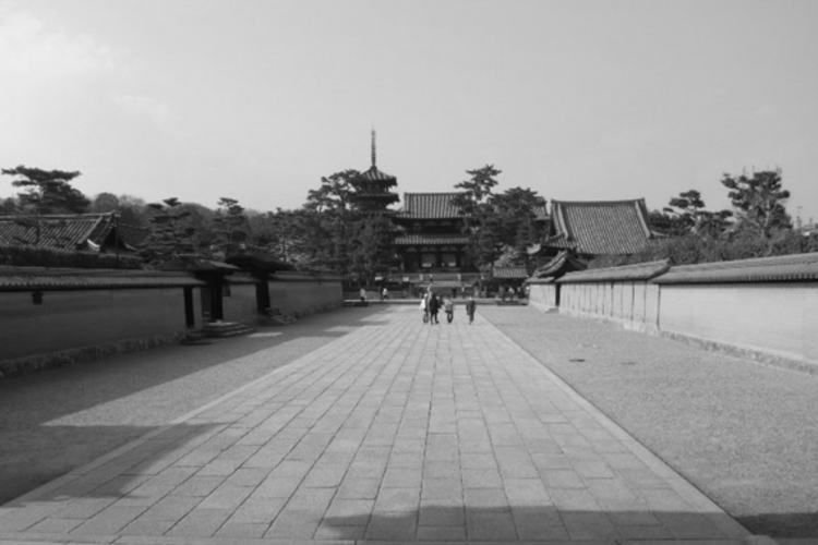
In the middle of the 6th century, Buddhism was brought to Japan from the Asian continent, making a great impact on Japan’s politics and culture. Large Buddhist temples replaced kofun as a symbol representing the power of a ruler. And prestigious temples, such as Horyu-ji and Asuka-dera, emerged in the southern Nara Basin. Many of the structures at Horyu-ji have been preserved to this day. And they became UNESCO’s World Heritage site in 1993 under the name “Buddhist Monuments in the Horyu-ji Area.”
By the early 8th century, the Japanese political system, with the emperor at the top, had almost been established. And the need to construct a large capital, one which conveyed a sense of strong authority, became apparent. So, in 710, they created Heijo-kyo in the northern Nara Basin as the new capital city of Japan. And it flourished as the political center for most of the next 70 years or so. This city is said to have been designed after Chamg’an, the capital of China’s Tang-dynasty and was laid out in an orderly grid pattern. Recently, they reconstructed Heijo-kyo’s main-gate structure and one of the palace buildings. And excavation work is still underway.
Photographs: properties of Unfamiliar Japan Tours.com
Internal Links
Outbound Links (New Window)


")


")