Overview
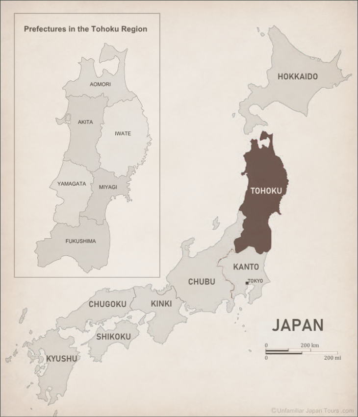
The Tohoku Region is the northernmost part of Honshu, Japan’s main island. And it consists of six prefectures: Aomori, Iwate, Akita, Miyagi, Yamagata, and Fukushima.
This Region stretches a long distance from north to south. So, it has a vast land area, which accounts for about one-fifth of the nation’s total. However, the population of Tohoku is not very large. Even the combined population of its six prefectures is less than that of Tokyo Prefecture alone.
Historically, Tohoku has long been called Michinoku (a shortening of Michi no Oku). This term roughly means a place deeper down the road. In this case, the ‘road’ refers to the ‘eastern road’ (or the eastern country). This comes from the following fact. Throughout most of Japanese history, the emperors almost always reigned in the Kinki Region (Nara or Kyoto). And Edo (present-day Tokyo) and its surrounding area in the Kanto Region would often be called Togoku (the eastern country) by the people and court nobles in what they considered to be the center of Japan.
In those days, people generally traveled on foot. And it took them about two weeks to go from Kyoto to Edo (a distance of about 492 km). So, to reach Tohoku, people had to walk farther north after reaching Edo. The term Michinoku reminds us how far and unexplored Tohoku used to be for the general populace of Japan.
Nature in Tohoku
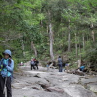
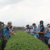
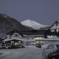
The Tohoku Region is blessed with rich nature. In particular, places like Shirakami Sanchi (Shirakami Mountains), Mount Hachimantai, and the Bandai Plateau are popular for their beautiful and pristine natural environment.
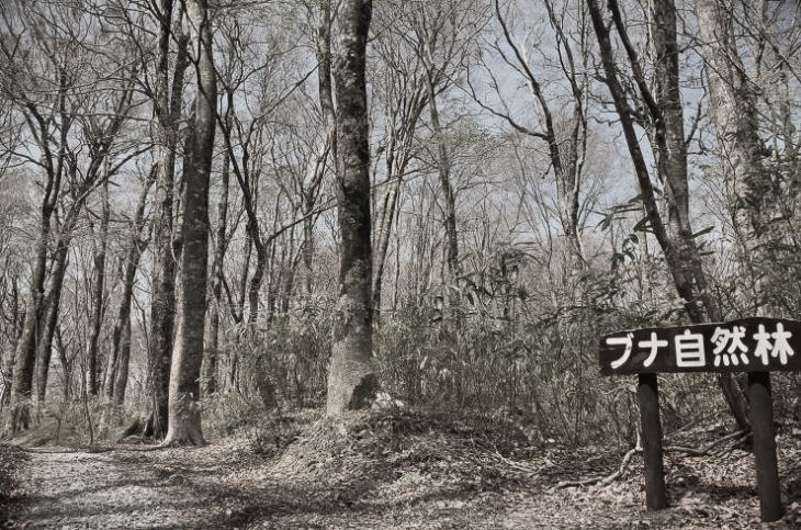
Shirakami Sanchi (Shirakami Mountains) straddles both Aomori and Akita Prefectures. This mountainous area boasts of the primitive forest of buna. Buna is a Japanese Siebold’s beech tree. Those buna forests have been almost unaffected by human beings and their scale is one of the largest in the world. In 1993, Shirakami Sanchi was registered as one of Japan’s first UNESCO World Heritage sites (natural heritage), along with Yakushima Island in Kagoshima Prefecture, Himeji Castle in Hyogo Prefecture, and “Buddhist Monuments in the Horyu-ji Area” in Nara Prefecture.
Geography of Tohoku
The landform of Tohoku is dominated by the Ou Mountains (the pronunciation of Ou is “Oh-Woo”). People sometimes calls the range the spine of Tohoku. Stretching 500 km from the northernmost prefecture, Aomori, to the northern edge of the Kanto Region, it is the longest mountain range in Japan. A couple of other ranges and plateaus run parallel to the Ou Mountains to its east and west sides. And because of these north-south mountain ranges, traveling from east to west takes many hours. But, at the same time, interesting cultural differences between east and west Tohoku have emerged.
Map of Tohoku
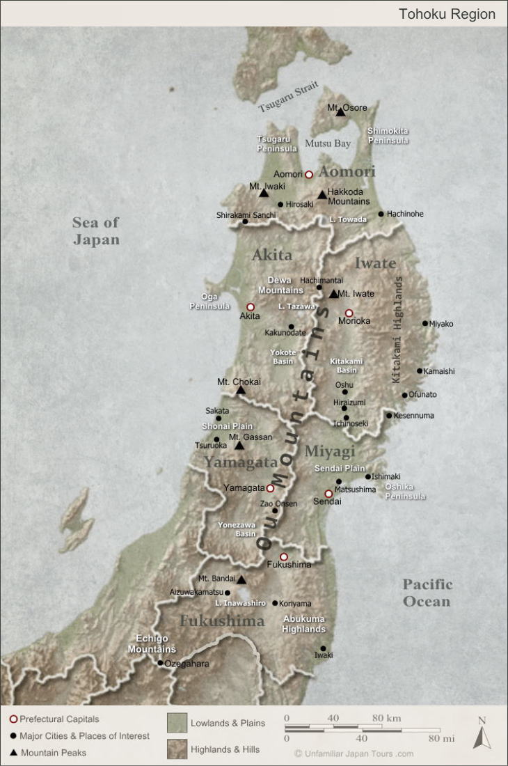
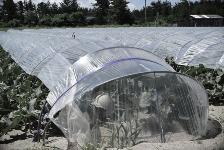
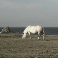
Please pay attention to the coastlines of the Tohoku Region. Then you may notice that its western coast, which faces the Sea of Japan, mainly consists of flat, uninterrupted shoreline. These sandy shores seem to go on forever, and they often feature sand dunes. Among them, the Shonai Sand Dunes in Yamagata Prefecture are the largest. People often use these sandy areas for growing melons, taking advantage of the good water drainage.
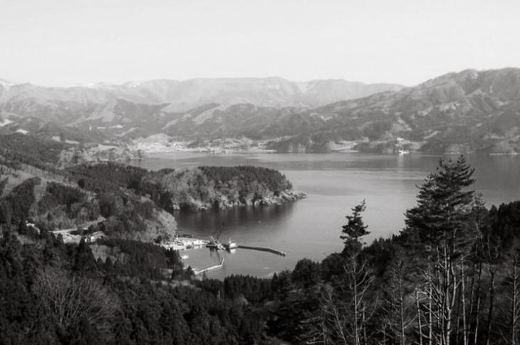
On the other hand, the Sanriku Coast, which occupies a large portion of Tohoku’s eastern coast on the Pacific Ocean side, has an intricate sawtooth-shape coastline. People in Japan commonly call this type of coast a ria coastline. The bays of this type of coastline usually have calm waters, offering some ideal places for cultivating marine life, such as oysters, wakame seaweed, and Japanese scallops (hotate).
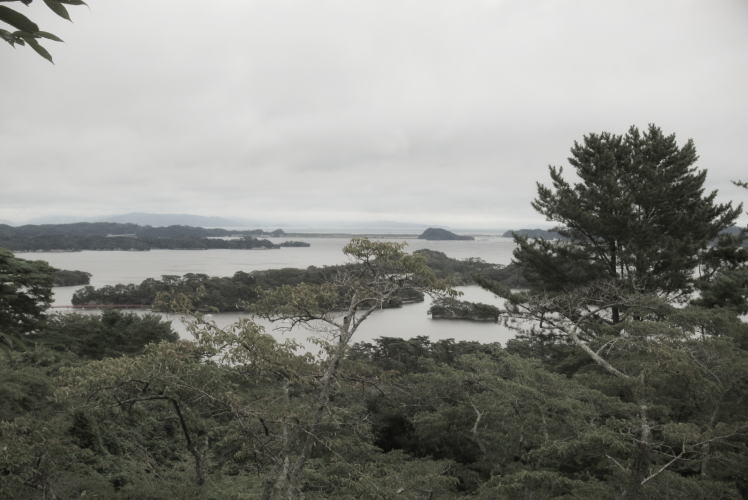
Matsushima
Tohoku’s eastern coast has many scenic spots. Among them, Matsushima in Miyagi Prefecture is the most famous. With more than 260 small islands located in the calm and beautiful sea, Matsushima has been popular as one of the three most scenic spots of Japan since the Edo Period. Many poets and distinguished people throughout history have visited Matsushima and recorded their impressions in their waka or haiku.
Sanriku Coast
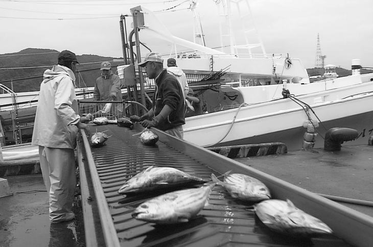
Let’s talk about commercial fishing. The sea off the coast of Sanriku is one of the most fertile waters in the world. This is mainly because it is a place where two sea currents, the cold Oyashio Current (also called Kurile Current) and warm Kuroshio Current (also called Japan Current), collide, attracting various types of fish. So, there are several large-scale fishing ports dotting the Sanriku Coast. These ports include Kesen’numa and Ishimaki in Miyagi Prefecture, and Miyako in Iwata Prefecture.
The Earthquake in 2011
However, a ria coastline tends to be more vulnerable to a tsunami attack, once an earthquake happens. In recorded history, many tsunami have hit Tohoku’s eastern coast. And several of them were strong enough to cause many fatalities. So, people have made efforts to minimize the damage when a disaster strikes. They have created tide embankments (seawalls), and improved and maintained escape routes to the higher grounds.
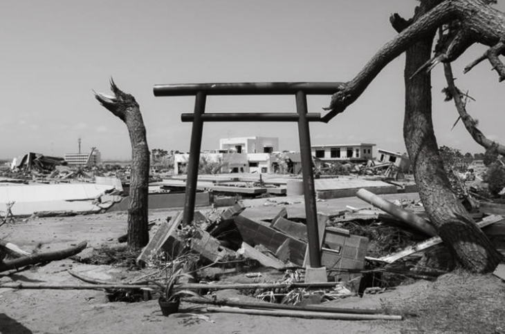
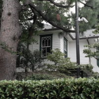
But the scale of the earthquake that happened on March 11, 2011 (the 2011 Tohoku Earthquake and Tsunami) far exceeded the local people’s imagination. With a magnitude of 9.0, it was the strongest earthquake ever recorded in Japan. The epicenter was 130 km off the coast of Miyagi Prefecture. And its subsequent tsunami completely devastated the coastal region of Tohoku on the Pacific side. Even now, it is still affecting peoples’ lives in Tohoku. Some are still making efforts to rebuild their homes and lives.
Photographs: Properties of Unfamiliar Japan Tours.com.
Outbound Links (New Window)


")


")